Rose Tardiff: Sparking Innovation With Data, Mapping and More
June 17, 2025
As the City of Syracuse’s director of neighborhood and business data and evaluation, the Maxwell alumna taps skills she learned in Maxwell’s geography program.
While pursuing a degree at the Maxwell School, Rose Tardiff ’15 B.A. (Geog) became involved with the Salt City Harvest Farm, a community farm near Syracuse where newcomers from all over the world grow food and make social connections.
The summer before her senior year, Tardiff coordinated on-farm activities and volunteers, making the program the focus of her capstone thesis.
“Looking back on the research, it was an attempt to make some data-driven recommendations, based on the participants, their experiences and aspirations,” says Tardiff. She got involved with the organization through another local nonprofit, Syracuse Grows, and its affiliation with the Syracuse Community Geography Program, an initiative co-directed by Jonnell Robinson, associate professor of geography and the environment.
“It was through Syracuse Grows and Salt City Harvest Farm, and connecting with people here, that I came to feel like this was a place I could put down roots and be part of the community,” she says.
Tardiff now serves as the City of Syracuse’s first director of neighborhood and business data and evaluation. She leads a small team responsible for data collection, analysis, mapping and evaluation for various departmental divisions to bring innovation to operations, measure impact and inform programs. She works under the deputy commissioner of neighborhood development to support code enforcement, permitting, zoning, housing and urban development entitlement grants, business development and housing, and neighborhood planning.
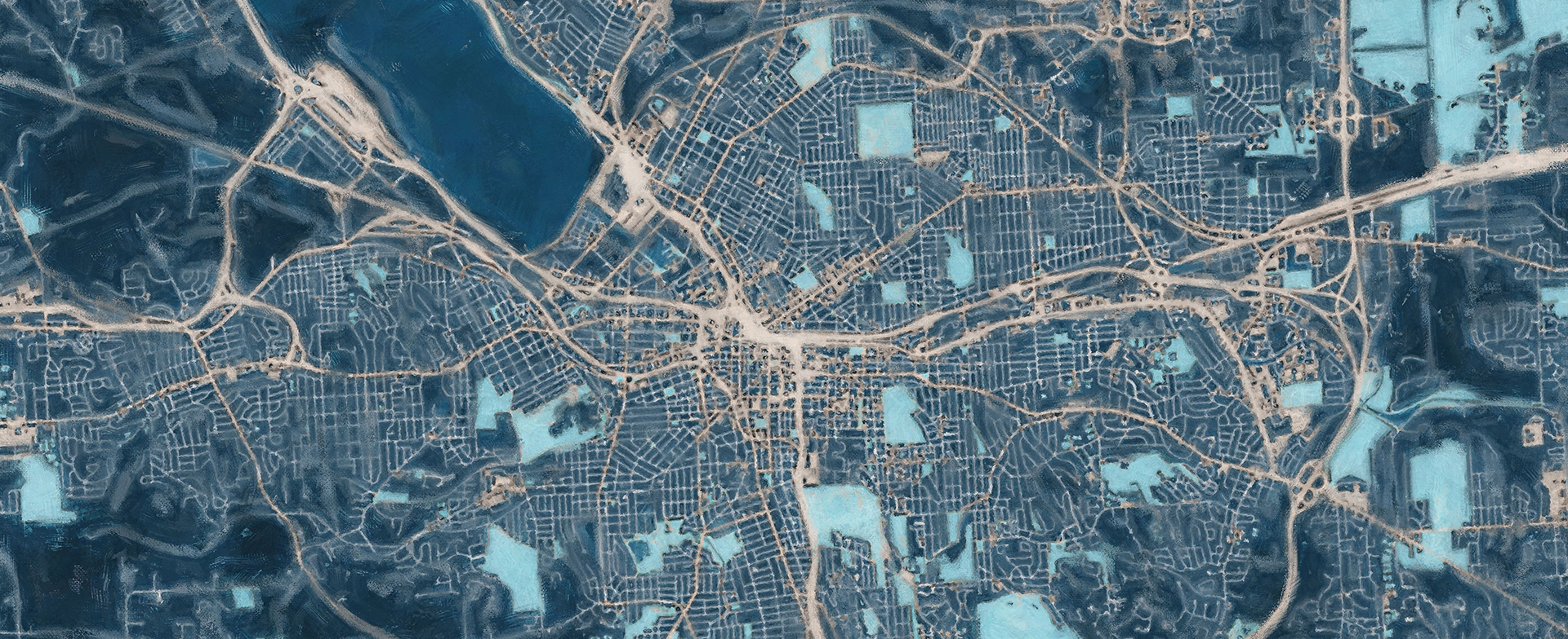
Tardiff described how the position is designed to offer additional capacity to consolidate and interpret data from multiple sources and departments. “It can be a big lift to understand what you’re working with, pull from different source systems, and then stitch it all together,” she says. “Data and mapping have always been a part of neighborhood development. But the decision was to create some dedicated roles and capacity where it could be the sole focus.”
Recently, her team has been using data to report on compliance with code enforcement’s rental registry, which tracks non-owner occupied housing units. Her team has been tracking occupancy changes and new rental properties that have come online with the goal of establishing a “fuller universe of all rental properties.” The rental registry involves proactive inspections at least every three years to identify and remediate any hazardous housing conditions to ensure the health and safety of occupants.
“We want to identify new rentals to inform owners of requirements, and for owners that haven’t applied or obtained a rental certificate, identify which next enforcement steps are needed,” says Tardiff.
“She’s a great example of utilizing data-driven public policy analysis with a bachelor’s degree from Maxwell. She is sitting right at that perfect intersection at the city where she’s in public service and she’s doing social science analysis, but she’s using STEM technology to do it.”
Kelly Montague
program coordinator of geography and the environment as well as environment, sustainability and policy
Tardiff also collaborated with the Department of Analytics, Performance and Innovation and with the city’s public information officer on a public-facing, interactive web map that allows users to search by address or neighborhood to see a property’s compliance with the rental registry and certificate of compliance programs as well as any unfit or other open code violations. Called Look Before You Rent, it also includes information on neighborhood amenities including bike and bus routes, bus stops, schools and parks. While the data is already available to the public, it is siloed, said Tardiff, adding, “This project consolidates and integrates those data, making a better public-facing tool.”
Kelly Montague, program coordinator of geography and the environment as well as environment, sustainability and policy, took classes and worked with Tardiff. “She’s a great example of utilizing data-driven public policy analysis with a bachelor’s degree from Maxwell,” says Montague. “She is sitting right at that perfect intersection at the city where she’s in public service and she’s doing social science analysis, but she’s using STEM technology to do it.”
Tardiff says she was drawn to the geography major for courses on environment and society relationships and food systems. As an intern at the National Geographic Society in Washington, D.C., she worked with the education and children’s media team and created call-to-action maps, starter maps and graphs on a web-based geographic information systems (GIS) platform.
“Generally, geography is super interdisciplinary,” she says. “It equips students to be critical thinkers. It lays strong foundational and technical skills but then adds how to do mixed methods research. They’ve been very transferable across fields.”
When not on the job, Tardiff volunteers with Syracuse Grows. She’s also an artist and entrepreneur, creating handmade pottery that she sells locally and online, creative skills she honed as a ceramics minor and with a post-graduate pottery assistantship acquired through her connections at Syracuse University.
By Michael Kelly
Published in the Spring 2025 issue of the Maxwell Perspective
More Alumni Who Innovate for Good


Related News
School News

Jul 3, 2025
School News
Jul 2, 2025
School News
Jun 24, 2025
School News

Jun 16, 2025